Pleasant Plains
Pleasant Plains refers to an area on the south shore of Staten Island between Richmond Valley and Prince’s Bay, and also bordered to the north by Woodrow. It was named by officials of the Staten Island Railroad Corporation (now the MTA Staten Island Railway), who put a railroad stop in the area and a small community soon sprung up. This area is the site of the Mount Loretto complex, a large plot of land which once contained an orphanage, cemetery, and various religious groups, but the land has since been divided up and sold to various developers. The neighborhood’s commercial cores are centers around Amboy and Bloomingdale Roads. Education options for Pleasant Plains are P.S. 3 and many others to be found in surrounding areas. Although Pleasant Plains and other surrounding neighborhoods are the furthest from Manhattan, that doesn't stop residents from commuting with easy transportation. Transportation routes include the local S55 bus, as well as the X17 and X22 express buses, and a stop on the Staten Island Railway.
Pleasant Plains
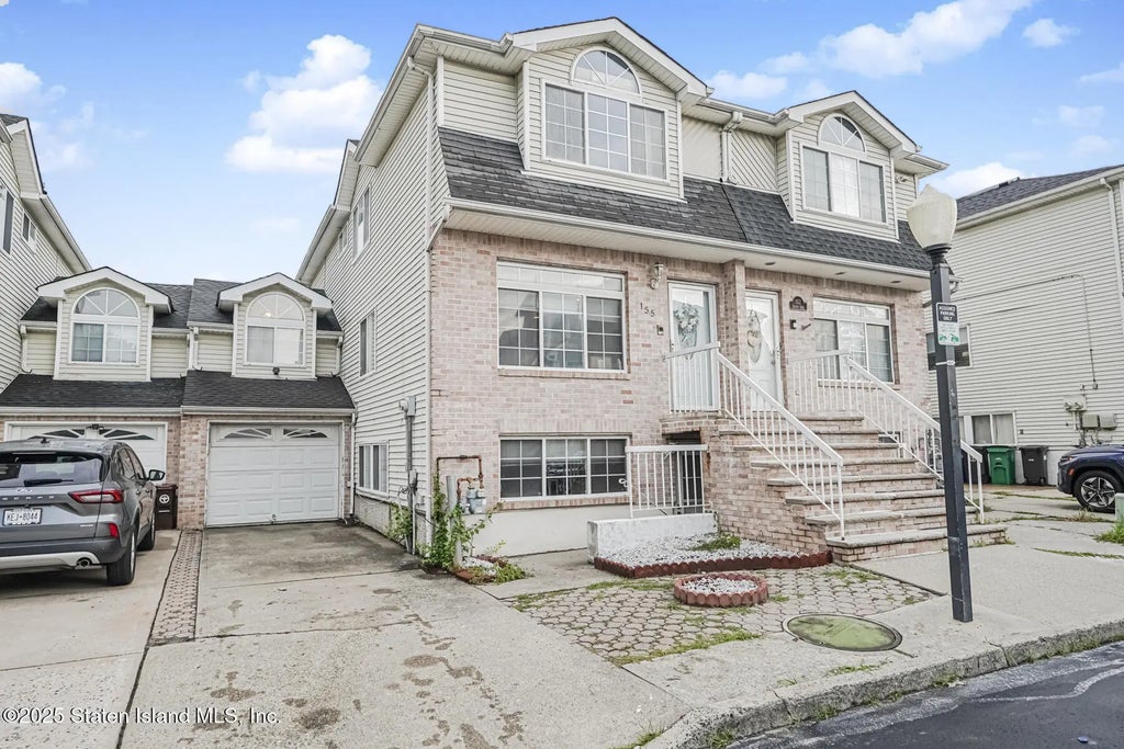
- All Listings
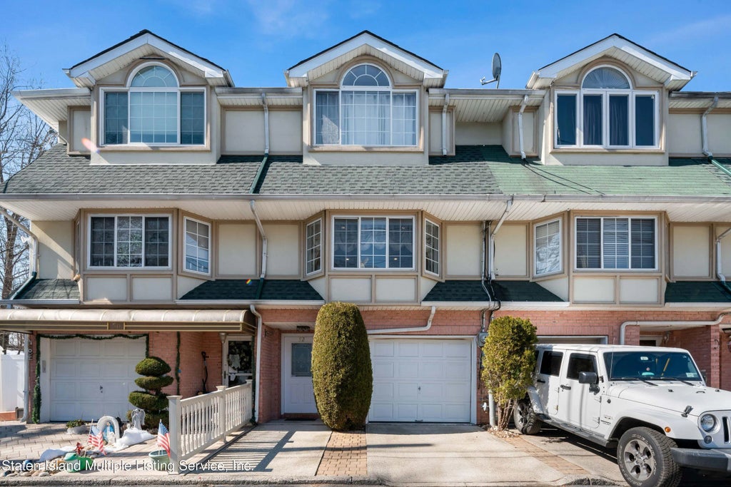
- $700,000 - $800,000
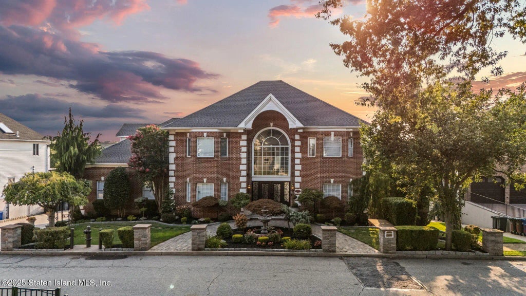
- Over $1,000,000
Restaurants and Entertainment in Pleasant Plains
1. Cucumber 5834 Amboy Road Asian fusion restaurant with a casual ambiance and menu options such as dim sum and sushi. Read reviews here.
2. Cheeburger Cheeburger 2935 Veterans Road Fast-food chain outpost slinging huge burgers with many add-ons in retro 1950's quarters. Read reviews here.
Grocery Stores and Supermarkets Pleasant Plains
1. Top Tomato 240 Page Avenue
Parks Near Pleasant Plains
1. Bloomingdale Park Bloomingdale Road A 138-acre park with a playground and lots of open, traditional park space! Other areas surrounding Bloomingdale Park include Huguenot, Annadale, Arden Heights, Charleston, Pleasant Plains, Prince’s Bay, Rossville, and Woodrow. For more information about park events, visit www.nycparks.org/parks/bloomingdale-park or call (718) 585-7117.


